
 Image 1 of 1
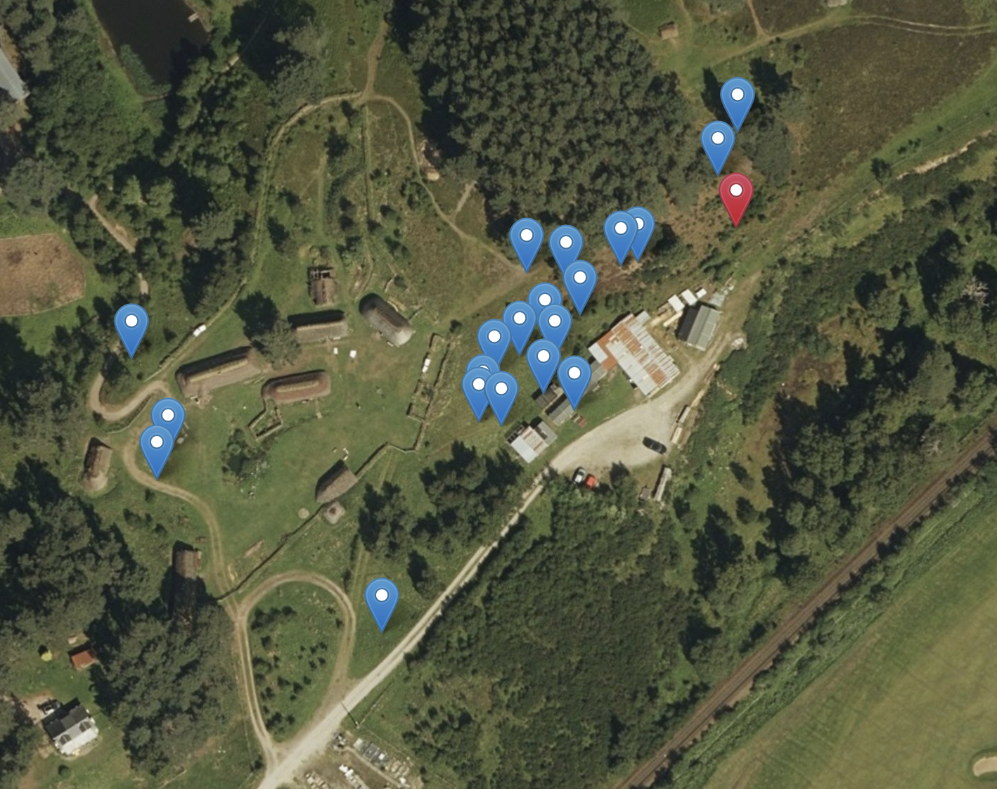
Mapping & Digitisation
All mapping is produced using QGIS, allowing for open-source, transparent, and shareable outputs in a wide range of formats.
UKHab - Digitisation and classification habitats using field data, aerial imagery or GPS survey points. Creation of maps using the UKHab packages in GIS, connecting to BNG.
Biodiversity Net Gain (BNG) - Creation of habitat basemaps, condition assessments, and deliverables for BNG metric calculations
NVC - Detailed habitat classification and analysis to support ecological assessments and restoration projects
Spatial Analysis and Data Visualisation- Including buffer analysis, constraints mapping, and change detection for environmental planning.
Digitisation of field survey data - Transforming hand-drawn or GPS-based data into clear, georeferenced digital outputs.
Ecological Reporting
We produce clear, concise and professional ecological reports that meet planning and regulatory requirements.
Preliminary Ecological Appraisals (PEAs)
Ecological Impact Assessments (EIA)
Habitat and Species Survey reports
River condition and MoRPh survey reporting
Biodiversity Net Gain summaries